Rift faults
Type of resources
Topics
Keywords
Contact for the resource
Provided by
Years
Formats
Representation types
Update frequencies
-
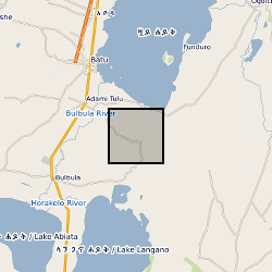
Composition of Soil-Gas Efflux From the Artu Jawe Fault Zone, near Aluto volcano, Ethiopia. Data are referenced in Hutchison et al., 2016a: Causes of unrest at silicic calderas in the East African Rift: New constraints from InSAR and soil-gas chemistry at Aluto volcano, Ethiopia; https://doi.org/10.1002/2016GC006395.
-
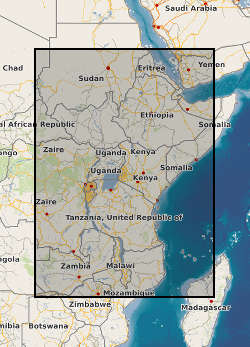
A geographic information system (GIS) heat flow and temperature model of East Africa created by extracting data from open sources into a series of shapefiles and rasters containing information on geothermal sites, hot spring locations, digital elevation model, surface temperature, geothermal gradients, thermal conductivities and heat flow data, major faults, surface geology, crustal basement, electrification grid system and population density across East Africa. This data is stored in the World Geodetic System (WGS) 1984 Geographic Projection System.
-
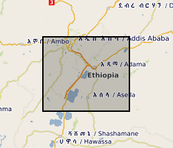
Diffuse CO2 degassing data from three campaigns across the Main Ethiopian Rift. Data are referenced in Hunt et al., 2017: Spatially variable CO2 degassing in the Main Ethiopian Rift: Implications for magma storage, volatile transport and rift-related emissions; https://doi.org/10.1002/2017GC006975.
-

The data are derived from interpretation of seismic reflection profiles within the offshore Corinth Rift, Greece (the Gulf of Corinth) integrated with IODP scientific ocean drilling borehole data from IODP Expedition 381 (McNeill et al., 2019a, 2019b). The data include rift fault coordinate (location, geometry) information and slip rate and extension rate information for the major faults. Seismic reflection data were published in Taylor et al. (2011) and in Nixon et al. (2016). Preliminary fault interpretations and rate data, prior to IODP drilling, were published in Nixon et al. (2016). Details of datasets: The data can be viewed in GIS software (ArcGIS, QGIS) or the Excel and .dbf files can be used for viewing of rate data and import of fault coordinates into other software. The 4 folders are for different time periods with shape files for the N-Dipping and S-Dipping Faults in the offshore Corinth Rift and respective slip and extension (horizontal) rates. The shapefiles are digitised fault traces for the basement offsetting faults, picked from the Multichannel Seismic Data collected by the R/V Maurice Ewing. Fault traces are segmented and each segment has an average throw (vertical) rate (Tavg) in mm/yr. The rates for the segments are averages based on measurements at the ends of each segment. The major fault trace segments also have slip-rates (slip_rate) and extension-rates (ext_rate or extension_) in mm/yr. All rates as well as the names for major faults can be located in the attribute table of the shape files along with X- and Y-coordinates. The coordinate system is WGS84 UTM Zone 34N. The shape files can be loaded into a GIS (ArcGIS, QGIS etc.) allowing mapping and visualization of the fault traces and their activity rates. In addition, the attribute tables are .dbf files found within each folder. These have also been provided as .xlsx (Excel) files which include the fault coordinate information, and slip rates and extension rates along the major faults. References McNeill, L.C., Shillington, D.J., Carter, G.D.O., and the Expedition 381 Participants, 2019a. Corinth Active Rift Development. Proceedings of the International Ocean Discovery Program, 381: College Station, TX (International Ocean Discovery Program). McNeill, L.C., Shillington, D.J., et al., 2019b, High-resolution record reveals climate-driven environmental and sedimentary changes in an active rift, Scientific Reports, 9, 3116. Nixon, C.W., McNeill, L.C., Bull, J.M., Bell, R.E., Gawthorpe, R.L., Henstock, T.J., Christodoulou, D., Ford, M., Taylor, B., Sakellariou, S. et al., 2016. Rapid spatiotemporal variations in rift structure during development of the Corinth Rift, central Greece. Tectonics, 35, 1225–1248. Taylor, B., J. R. Weiss, A. M. Goodliffe, M. Sachpazi, M. Laigle, and A. Hirn (2011), The structures, stratigraphy and evolution of the Gulf of Corinth Rift, Greece, Geophys. J. Int., 185(3), 1189–1219.
-
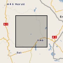
This data set comprises broadband magnetotelluric (MT) and transient electromagnetic (TEM) data collected during three field seasons in 2008, 2009 and 2010 by a team of researchers from the University of Edinburgh, UK, IMAGIR, Brest, France and the Institute for Geophysics, Space Science and Astronomy at Addis Ababa University, Ethiopia. The MT dataset includes the original time series and processed transfer functions. The time series data are provided in the original raw data format with files to convert them to ascii. Raw and processed TEM data, collected with a Geonics PROTEM system, are included. We provide information on the locations and the processing and include the necessary instrument response functions and metadata to reproduce our results from the raw data.
-
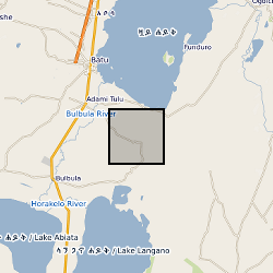
Petrological and geochemical analysis of samples from Aluto volcano, Ethiopia. Data are referenced in Gleeson et al., 2017: Constraining magma storage conditions at a restless volcano in the Main Ethiopian Rift using phase equilibria models; https://doi.org/10.1016/j.jvolgeores.2017.02.026.
-
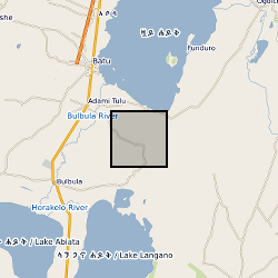
Petrological and geochemical analysis of tephra samples from Aluto volcano, Ethiopia. Data are referenced in McNamara et al., 2018: Using Lake Sediment Cores to Improve Records of Volcanism at Aluto Volcano in the Main Ethiopian Rift; https://doi.org/10.1029/2018GC007686.
-
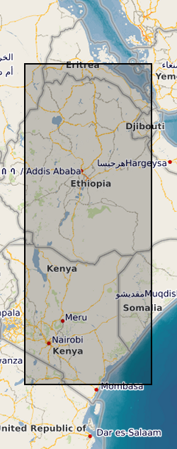
This data set contains a set of 20,740 unwrapped, geocoded interferograms derived from Sentinel-1 InSAR scenes processed over 63 volcanoes within the East African Rift system. A full description of the dataset is provided in the accompanying READMe file. This data set was first published in Albino, F. & Biggs, J. (2020). Magmatic processes in the east African rift system: Insights from a 2015-2020 Sentinel-1 InSAR survey, Geochemistry, Geophysics, Geosystems.
 BGS Data Catalogue